If you are thinking about buying hunting or recreational land in Montmorency County, it is easy to fall in love with the woods first and ask questions later. That can be risky in a market where access, water, wetlands, title details, and neighboring uses often matter more than a simple price-per-acre comparison. The good news is that with the right local guidance and a careful review of county and state records, you can buy with more confidence. Let’s dive in.
Why Montmorency County Stands Out
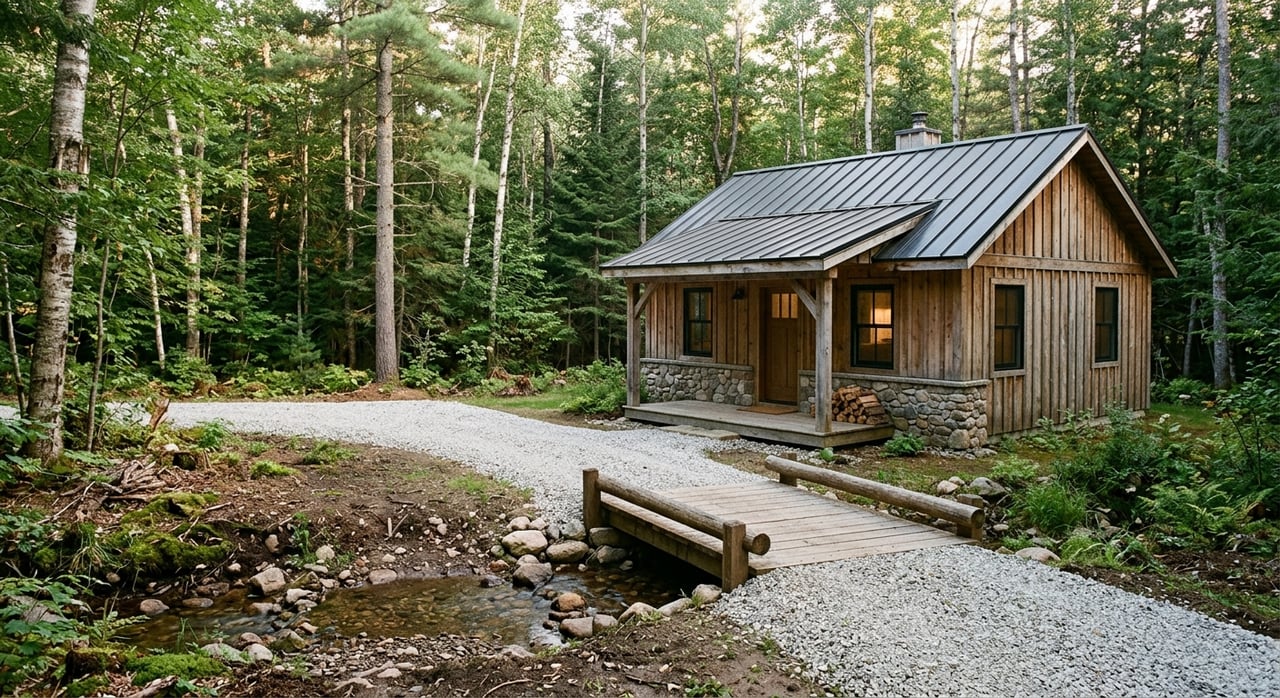
Montmorency County offers the kind of setting many land buyers are looking for in northern Michigan. The county reports 352,019 acres, 248 lakes and reservoirs, 14.8 square miles of water surface, and about 86% forest cover, which helps explain why hunting, recreation, and seasonal land use are such a strong part of the local market. You can review county facts on the Montmorency County website.
This is not a typical suburban land market. A county land-use and hazard planning report notes that much of the county is made up of upland forest, lowland forest, wetlands, or water, with roughly 37% in public ownership. For you as a buyer, that means the real value of a parcel often comes down to how usable it is, how accessible it is, and what surrounds it.
Start With Public Land and Hunting Maps
Before you focus on trails, blinds, or food plots, make sure you understand how the parcel fits into the larger landscape. The Michigan DNR states that Montmorency County has no special local hunting controls, and it identifies Mi-HUNT as the official tool for approximate public hunting boundaries, public lands, and private land open to public hunting.
That matters because nearby public hunting land can shape your experience and future resale appeal. The DNR lists local wildlife areas such as Rainy River Flooding WMA, Sage Lakes Flooding WMA, and Sportsman's Pond Flooding WMA, all of which can influence hunting pressure, traffic, and noise patterns near a property.
Check Legal Access First
One of the biggest mistakes land buyers make is assuming a parcel has legal access just because a road or trail seems close by. According to the DNR, state forest roads may provide incidental access, but they do not create legal access to private property unless an easement exists.
In practical terms, you want to confirm more than “I can get there.” You want to know whether the parcel has deeded access, usable frontage, and a realistic place for a driveway. The Montmorency County Road Commission policies note that driveway permits may be required and that culverts, slope, drainage, and sight visibility can all affect whether access is approved.
Verify Boundaries and Title Details
In a wooded setting, lot lines are not always obvious on the ground. That is why one of the best first steps is checking the Montmorency County GIS system, which maintains tax maps, parcel numbers, and digital layers for parcels, roads, lakes, and streams.
GIS is a great screening tool, but it should be paired with title review. The Montmorency County Register of Deeds records documents tied to both surface and mineral interests, which means you should verify the deed, any easements, possible reservations, and mineral-related language in the chain of title before moving forward.
Look Closely at Neighboring Uses
Montmorency County can change quickly from one land use to another. The county planning report explains that more intensive residential development is centered around Atlanta, Hillman, Lewiston, and several lake communities, while commercial uses cluster in those same communities and farming is more common in the northeast corner of the county.
For you, that means the parcel next door matters. A nearby public forest, lakeshore homes, farm field, or small-town commercial area can affect deer movement, road traffic, sound, privacy, and future resale demand. The surrounding landscape is part of the property’s value story, not just background scenery.
Understand Timber and Habitat Value
In Montmorency County, woods are not just visual appeal. They are a core part of how buyers judge hunting and recreational land. The county land-use report describes upland forests as the dominant cover, with aspen-birch common and pine species also present.
That makes timber condition, habitat quality, and management access worth reviewing early. If you are buying for hunting, recreation, or long-term holding, the land’s forest mix and regeneration may shape both enjoyment and value over time.
Ask About Forest Program Enrollment
Some parcels may come with tax or management programs that affect how you can use them. If a tract is enrolled in the DNR Commercial Forest Program, it remains privately owned but is open to public foot traffic for hunting, trapping, and fishing, and ownership changes can affect compliance.
A parcel could also be in the Qualified Forest Program, which is tied to forest management goals and a school operating millage exemption. For a buyer, these programs can affect carrying costs, management obligations, and expectations about privacy and use.
Review Water, Wetlands, and Drainage
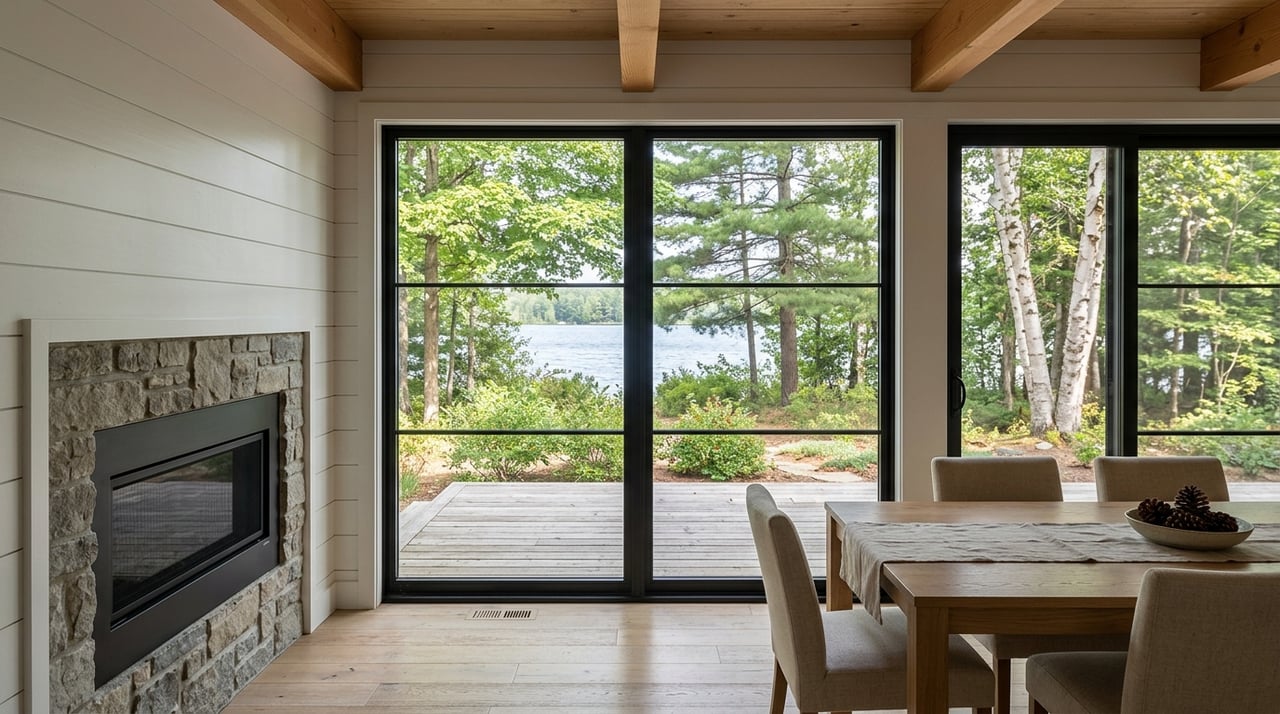
Water is one of the biggest draws in Montmorency County. With hundreds of lakes and reservoirs across the county, land with water frontage or water adjacency often attracts strong interest. At the same time, water can add another layer of due diligence.
Wetlands, flood-prone areas, and drainage patterns may reduce how much of a parcel is truly usable. Michigan EGLE offers a Wetland Identification Program and Wetlands Map Viewer, but the state notes these tools are approximate and should be paired with field verification when development is part of your plan.
Confirm Buildability Before You Buy
A lot of buyers want both recreation now and a cabin later. If that sounds like your plan, buildability should be part of your offer-stage review, not something you save for after closing.
District Health Department No. 4 explains that a vacant-land evaluation reviews soil texture, seasonal high water table, slope, drainage, proximity to surface water, water wells, and property lines to help determine septic suitability. That approval is helpful, but it is not the same thing as a construction permit.
If a future well is part of your plan, DHD4 also requires a well permit application and inspection process. On low ground or near water, these questions become especially important because they can affect both your building location and your total project cost.
Know the Permit Triggers
Montmorency County notes that a soil erosion permit is required for earth disturbance within 500 feet of water or for projects larger than one acre, and its building materials explain that a site plan must be included with permit applications. If you expect to add a driveway, clear an area, or build a pad, it is smart to factor those requirements into your budget from the start.
The county also explains that township zoning approval comes before county building permits, and the county enforces the Michigan State Construction Code, Michigan Residential Code, and Michigan Building Code. A parcel may work well for recreation but still face setbacks, frontage rules, or use restrictions that affect your building plans.
Offer-Stage Checklist for Land Buyers
Before you make an offer on hunting or recreational land in Montmorency County, these are some of the most important questions to answer:
- Do you have legal, deeded access, or does the property only appear reachable on a map?
- Can a safe driveway likely be permitted based on frontage, slope, drainage, and visibility?
- Have you reviewed the GIS mapping, deed, easements, and mineral language?
- Is the property enrolled in the Commercial Forest or Qualified Forest program?
- If you want a cabin, does the site appear likely to support septic and a well?
- Could wetlands, water, or drainage reduce the usable acreage?
- What are the neighboring uses, and how might they affect hunting quality, privacy, and resale?
Why Local Guidance Matters
Buying rural land is different from buying a house in town. In Montmorency County, value often depends on details that are easy to miss at first glance, like access rights, zoning limits, permit requirements, wetlands, program enrollment, and title language.
That is where appraisal-informed local knowledge can make a real difference. When you work with someone who understands how these land features affect marketability and resale, you are in a better position to avoid overpaying for acreage that is hard to use, hard to improve, or hard to sell later.
If you are exploring hunting or recreational land in Montmorency County, Aimee Smith brings local, practical guidance that can help you evaluate acreage with both lifestyle goals and long-term value in mind.
FAQs
What should you check first when buying hunting land in Montmorency County?
- Start with legal access, parcel boundaries, surrounding public land, and deed records before you focus on hunting features.
How can you verify public hunting land near a Montmorency County property?
- Use the Michigan DNR’s Mi-HUNT mapping resources and compare them with county GIS and the parcel’s location.
Can a forest road create legal access to private land in Montmorency County?
- No. The DNR states that state forest roads may offer incidental access, but they do not create legal access to private property unless an easement exists.
Why do wetlands matter when buying recreational land in Montmorency County?
- Wetlands can reduce usable acreage and affect where you can place a driveway, cabin, or other improvements.
What county or local approvals matter for building on land in Montmorency County?
- Township zoning approval, septic and well reviews, site planning, and possibly soil erosion permits can all matter depending on the property and your plans.
What is the benefit of working with a local land agent in Montmorency County?
- A local agent with appraisal-informed experience can help you assess access, utility, title, permits, and resale factors before you commit.